Linton Camping Trip.
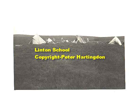
I think this bleak looking place is Howden Lodge, right on top of Carleton Moor, right on the top of the fells. These Igloo tents were considered to be very modern at the time, but did not have a sewn in ground sheet, that was to come I think.
We walked as far as Aysgarth visited the Falls, we then headed back to Linton.
The actual route was thus:
Day one.
Trek to Arncliffe via road B6160, then up Littondale to Litton for the first nights camp by the river, (stream, or Beck).
Day two.
Following the dale to Halton Gill and then a strenuous climb over Horse Head Moor, 1985ft., dropping into Langstrothdale and Hubberholme, continuing past Bishop Dale head, over Stake Allotments (very marshy) to camp at Water Ling Pasture (not a 'pasture', more a swamp, Shrek would have loved it). From here there is a truly beautiful view of Semer Water.
Day three.
Via Addleborough (1564ft) and Thornton Rust Moor dropping into Aysgarth in Wensleydale. Then onto West Burton, crossing the B6160 then the climb up Burton Moor to Carleton Moor 1758ft., where we camped at Howden Lodge, which I think was a derelict building.
Day 4.
Onto Coverdale via Horsehouse. Not a particularly heavy days walk this one, as we must have been flagging, staying overnight at the top of Carleton High Dale at Great Hunters Stone.
Day 5.
Now for the assent of Great Whernside at 2310ft pretty big for us nippers. Although named 'Great' Whernside, it is not bigger than the lesser named Whernside further east near Blea Moor, which at 2419ft, is bigger. Climbing down and across Whernside Pasture, which was just a bog, across Coniston Moor, and down Coniston Dib, which is really a smaller version of Malham Cove, at the time, little visited and off the tourist trail. Then by road and back to Linton.
